Skicka länk till app
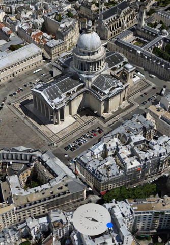
Melown Maps™ is a cloud 3D mapping service.
We create 3D digital models of urban and natural landscapes from aerial imagery and present them on the Web. The process is fully automatic, based solely on algorithms of computer vision, adequate for 3D modeling on massive scale.
Whether you are a municipality, real estate company, holiday resort operator, urban developer, military agency or a photomapping professional, we strive to provide you with a tool to present your world to visitors across the planet, in true 3D.


